While waiting for the free ferry from Ocracoke to Hatteras, I watched the birds. This Laughing Gull had a mouth full of crab. She's hoping he'll share.
We are a bit of a walk to the beach from here.
We stopped at this Indian Museum in Frisco, thinking we'd learn about the tribes local to the islands.
They had a lot of Indian artifacts on display, but from all over the U.S. and Alaska.
Nan was eyeing the shirts in the gift shop.
From there we drove south to the village of Hatteras.
This was the U.S. Weather Bureau Station at Hatteras, circa 1901. The building now serves as a Visitor Center.
The inside downstairs housed the staff. There were 3 bedrooms, a living and dining area and a kitchen.
We were not allowed on the second floor or the roof.
Many women became weather observers during WWII.
Hatteras has many vacation homes along the beach. Here's a new one being built.
Vacation homes and condos line the beach.
Nan is hoping climbing the sand dune counts as stairs on her Fitbit.
The sea has calmed considerably, bringing out the swimmers and sunbathers.
You are allowed to drive on the beaches if you have 4-wheel drive and get a permit from the ranger station.
Surf fishing and kites. You can see Cape Hatteras Lighthouse from here.
We visited the Graveyard of the Atlantic Museum in the village of Hatteras. The building is supposed to resemble a shipwreck.
A few shipwreck artifacts are outside.
Several historical markers were outside.
Inside is the original fresnel lens from the first Hatteras Light.
It was carried to the lighthouse on a cart like this one.
Blackbeard the Pirate was here too.
Some shipwreck items being worked on and preserved.
This was the most amusing salvage that washed ashore after a storm.
This jug was found on the beach in 1820 and kept in the finder's family for years.
The jug story.
The gift shop was full of ship-wreck related stuff.
Nan is still trying out shirts.
The wreck of the U.S.S. Monitor was left at the bottom of the sea to become the first artificial reef and marine sanctuary.
Our campground is on Billy Mitchell Road….now I know why it's named that.
This was a necessary stop in town.
I think Nan found her shirt.
Oh my, Brownie Bomb
We skipped dinner. Tomorrow we'll climb Cape Hatteras Light.
Back at the campground, we walked out to see the beach.
Looking back from the top of the dunes. Can you see Nan's RV?
Up there on high ground with the gorgeous view.
The waves were just right for Stand-Up Paddle boarding.
Watch this guy...
Oops!
He's done.
This Osprey was soaring to the moon and back.
Beautiful day for soaring.
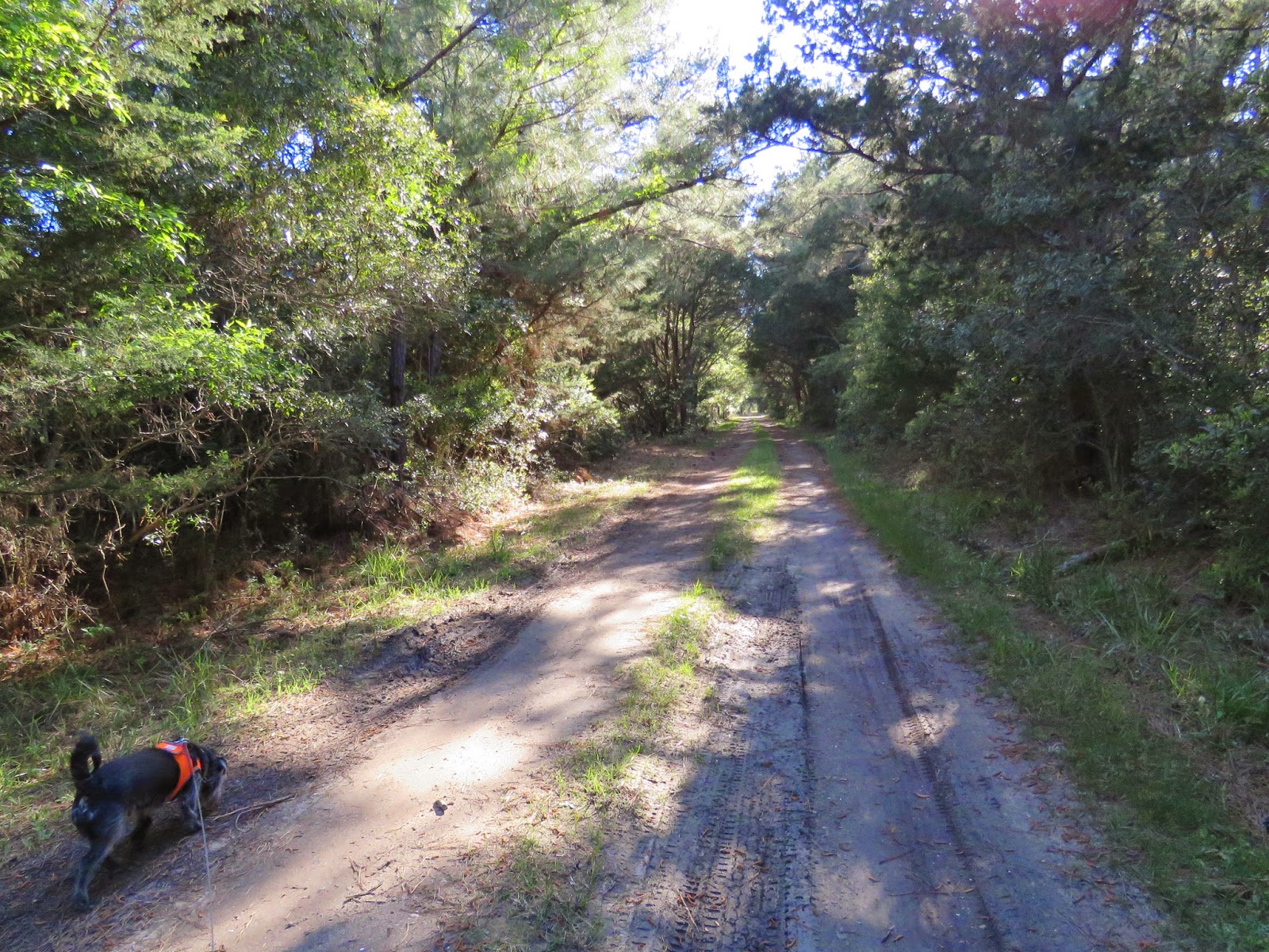
Thistle and I took a hike on Hidden Ponds Trail. The ponds were hiding really well…we didn't find them.
There are deer here, but they were hiding too. We only saw their tracks.
This bunny was trying to hide. He was hoping Thistle wouldn't find him.
One more view of the campground.
Next up, the climb up Cape Hatteras Light.


